
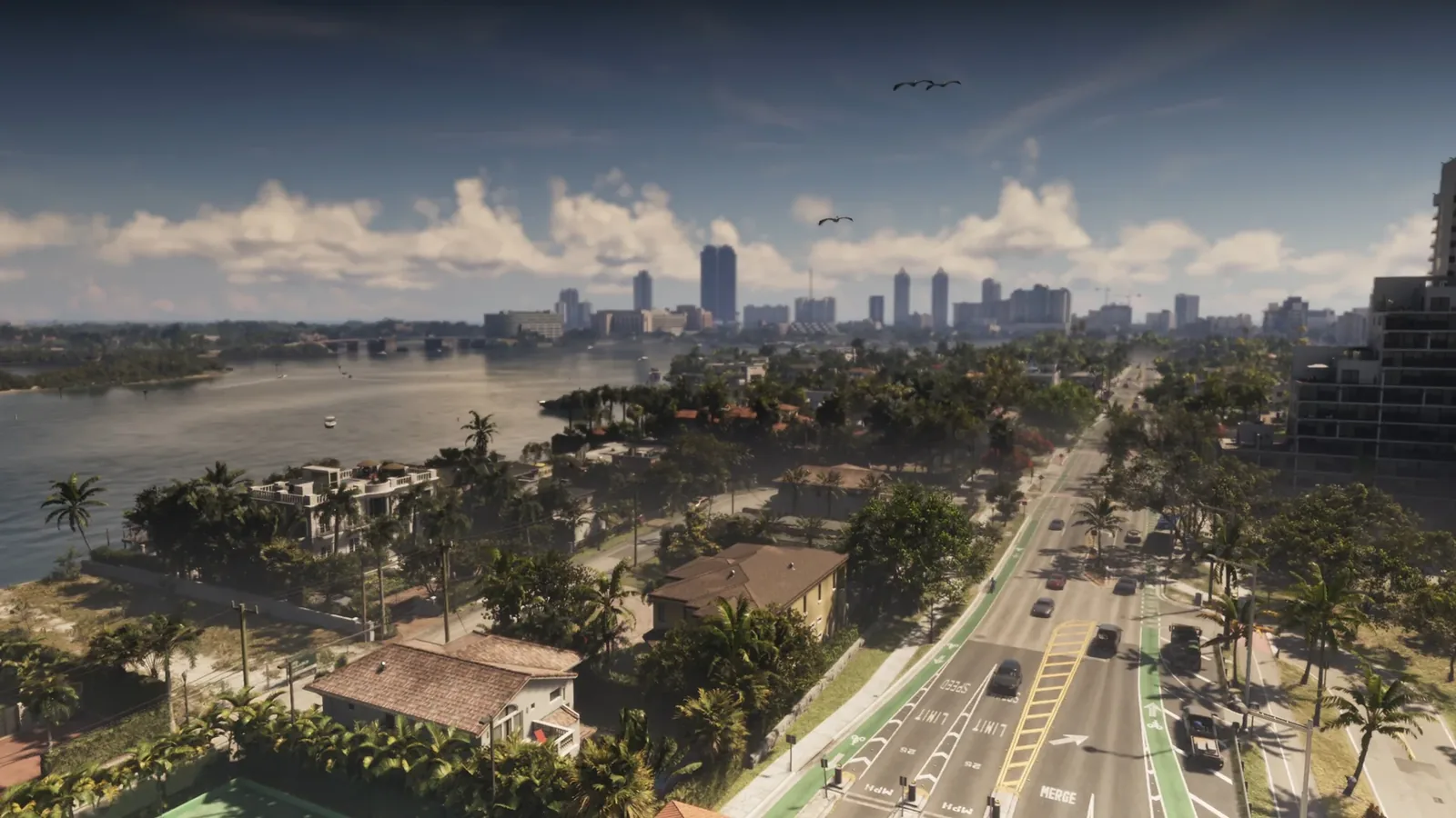
Community map v16 folds the leaked map, the Extended Look and the latest leak clips into one redraw, and its centrepiece is Capri, a Gulf coast city south of Port Gellhorn stitched together from Naples, Sebring and Lakeland, Florida.
- A highway sign in the Extended Look is the first official mention of Capri, pointing south from Port Gellhorn along Interstate 404.
- Version 16 is drawn by Yanis and the GTA 6 mapping project at gta6map.com, templated on the leaked August map plus the Extended Look and leak clips.
- Capri is a three-city composite: Naples supplies the waterfront and pier, Sebring the roundabout and fire station, Lakeland the lakeside centre.
- The city measures about one square kilometre, comparable to Bohan in GTA 4, with a Capri City Police Department alongside the Mariana County Sheriff.
- Version 16 also lists St. Joseph and Belleville among roughly a dozen settlements, and resolves Gloriana as a small key rather than a second state.
A Road Sign Made It Official
Somewhere in northern Port Gellhorn, the Extended Look camera passes a green highway sign pointing south to Capri and Vice Dale County. That sign is the first time Rockstar has named the city anywhere, in a trailer, a screenshot or a Newswire post. The mapping community had been waiting for it: the leaked map that surfaced in August already showed a settlement south of Port Gellhorn along Interstate 404, and the sign gave that shape a name.
A second thread of evidence runs through the leak clips. The Cyber Leak footage known as the second hypercar clip starts just south-east of the city, passing a gas station, farm fields and a track and field stadium that mapping contributors matched to the real stadium in Sebring, Florida. In the game it is home turf of a football team called the Capri Chuckles, which is about as Rockstar as a fictional team name gets.
What Version 16 Actually Changes
Version 16 of the community map is the work of the GTA 6 mapping project, with Yanis credited as the main drawer, and it is hosted at gta6map.com. The previous version, still visible at stateofleonida.net, was drawn from everything known before August 18. Version 16 folds in the three waves that arrived since: the leaked full map, the Extended Look and its screenshots, and the leak clips. That makes it the first redraw built on an actual map rather than educated guesswork.
Walkthroughs of the new version by MrBossFTW, Project Vice and mapping project contributors all describe the same headline change. Capri has gone from an unlabelled shape to a drawn city with a central roundabout, a stadium, a large lake, docks and a tram line, sitting in Mariana County roughly across the water from Vice City International Airport.
Three Real Cities, One Fictional One
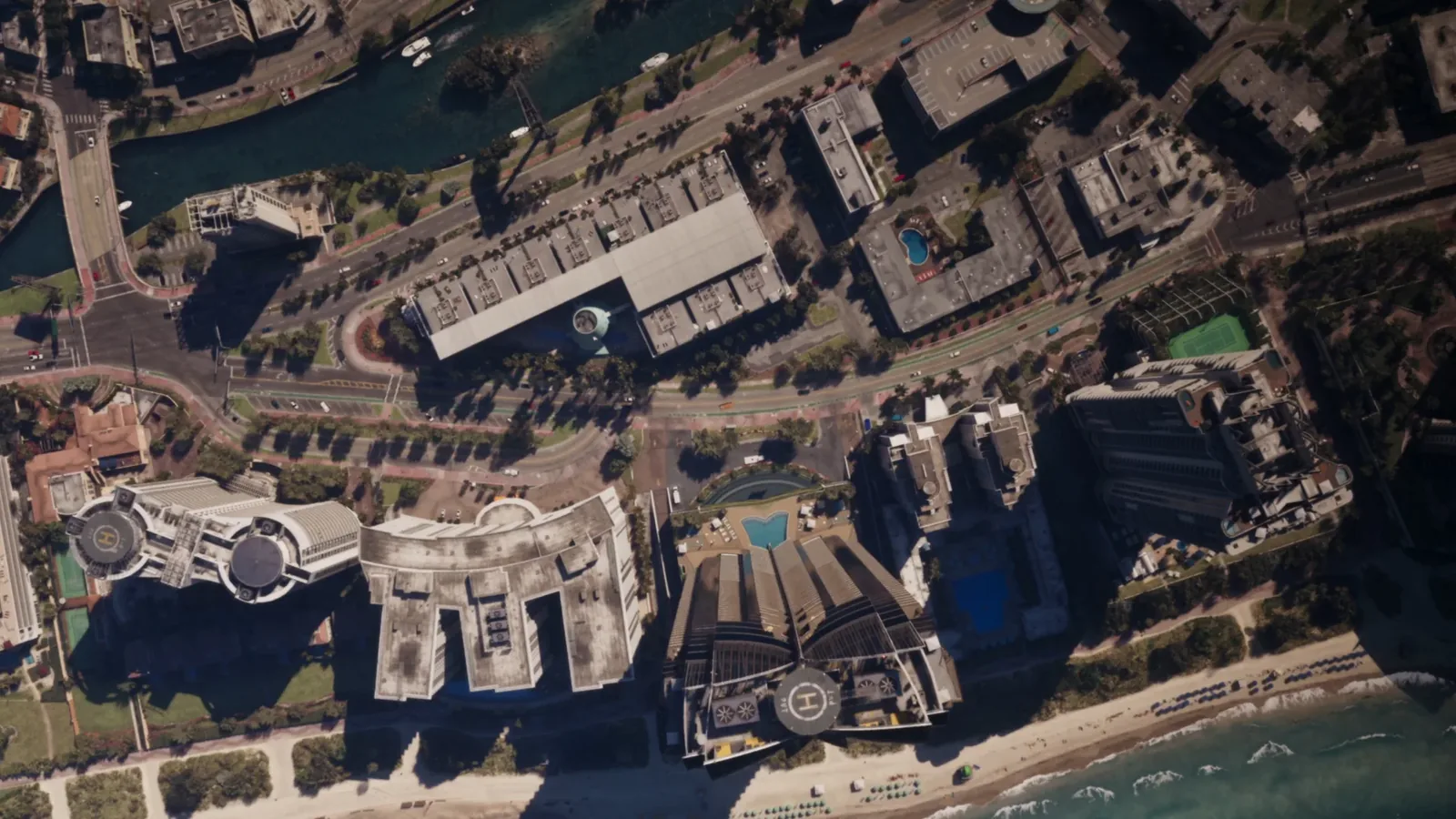
Contributors describe Capri as a composite of three real Florida cities, each supplying a district. The waterfront comes from Naples on the Gulf coast, complete with a pier, a drawbridge, a barrier beach and a fifteen floor condominium matched to the real Horizon House, with welcome signs modelled on the Naples originals. One detail dates the research: the real Naples Pier was partially destroyed by Hurricane Ian in September 2022, but the in-game version stands intact, which suggests Rockstar scouted the area years earlier.
The central roundabout, fire station and gas station come from Sebring, the small city whose race track already lends its layout to the Port Gellhorn International Raceway on the leaked map. The lakeside centre is Lakeland, sitting between Tampa and Orlando: Lake Mirror, the ten floor Terrace Hotel, a mirrored take on the Lake Mirror Tower apartments, the Peggy Brown and Magnolia buildings and a blocky train station all have direct counterparts. Sharp-eyed contributors note that the Lake Mirror Tower and the Terrace Hotel were visible as far back as Trailer 1, in the green pickup scene, hiding in plain sight for almost two years.
Size, Trains and Three Police Forces
The drawn city measures roughly one square kilometre, which contributors compare to Bohan in GTA 4 and call larger than South Los Santos. It earns its transport links: the rail line runs south to a station at Vice City International Airport and north through Port Gellhorn, the station from the Trailer 2 postcard, and on towards Red Hill.
Law enforcement gets specific too. Mapping contributors identify three forces around the city: the Mariana County Sheriff’s Office with liveries based on the real Charlotte County Sheriff, a Capri City Police Department based on Sebring’s, and the Leonida Highway Patrol. Capri now has its own entry in our locations database, alongside Mariana County, the county the community map places it in.
St. Joseph, Belleville and the Rest of the Redraw
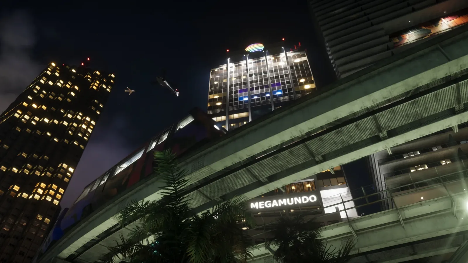
Capri is the centrepiece but not the whole redraw. Project Vice counts roughly a dozen named settlements outside Vice City on version 16, including St. Joseph in the north-east, which one contributor hopes will host the game’s answer to Florida’s space coast, and Belleville, drawn beside Ambrosia and the Waning Sands area and still marked speculative. MrBossFTW’s walkthrough adds an airfield inventory that runs from Vice City International down to dirt strips, including fields at Port Gellhorn, south of Ambrosia and up in Lummox County.
Two loose ends also get tidied up. Mount Kalaga National Park now occupies roughly the top fifth of the map in Lummox County, with the most unconfirmed areas of any region. And Gloriana, the second state that fan theories built out of Trailer 2 license plates, is resolved on version 16 as a small key near Tequesta Retreat, with the plates explained by the Ubermacht Sentinel Jason drives in the Extended Look. Community maps are not official, and Rockstar has never acknowledged the leaked material underneath this one, so every line on version 16 stays provisional until the game draws it for real.
Discussion
Comments · Community Map v16 Adds Capri
No comments yet.
Loading comments…