
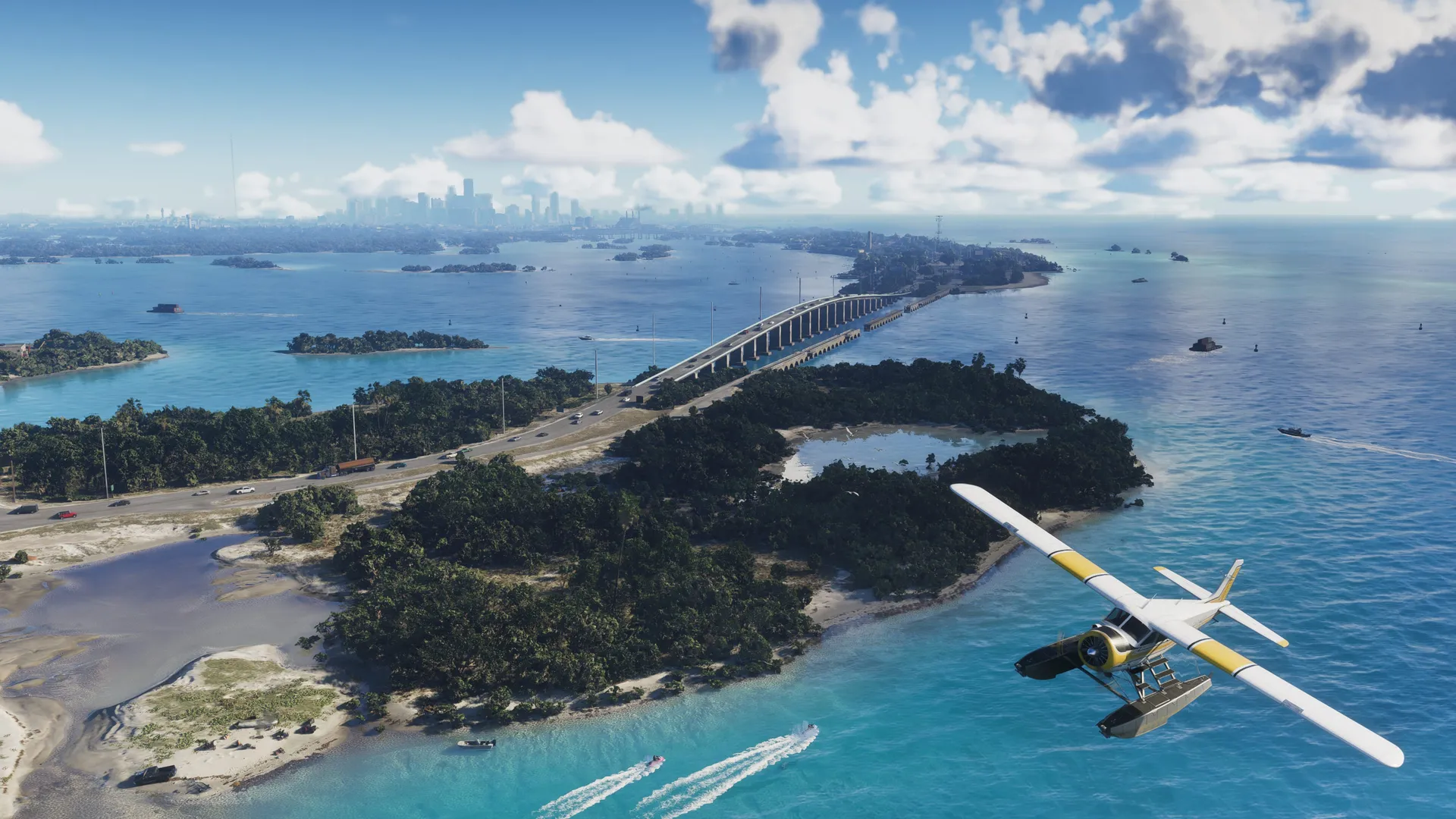

Leonida flies. The mapping community counts roughly ten airports and airfields on the GTA 6 map, from a Vice City International modelled on Miami down to dirt strips in the swamp. Every field, its real basis and the airlines at the gates.
- Vice City International is modelled on Miami International, with runways 27 and 9 matching MIA’s real magnetic headings and the control tower recreated 1:1.
- Community counts put roughly ten airfields on the map: a giant international hub, a naval air station, grass strips, a residential air park and at least one hidden runway.
- The departure board is pure parody: Allied Air, Adios Airlines, a Pelican freighter and a flamingo-tailed carrier, with Autograph Aviation running the private terminal.
- Downtown helipads are reachable by lift with no loading screens, and ambient air traffic runs over the city constantly.
- Key West is likely cut. The 2015 test map held it as its own island, and the current map keeps only the naval station that anchored it.
Ten Airfields and Counting
No Rockstar map has ever shipped this much tarmac. Between the Extended Look, the screenshots and the community map’s version 16 redraw, mapping contributors now count roughly ten airports and airfields across Leonida, and that is before anyone counts helipads. The aviation creator Favegano, whose frame-by-frame airport breakdown most of this page leans on, calls three of them proper airports: Vice City International, the naval air station down in the Keys and the field at Port Gellhorn, which he reads as possibly military. The rest are grass strips, a residential air park and dirt runways that only exist because somebody drew a line of cleared trees on the map.
A quick honesty note before the tour. Rockstar has confirmed none of these names. What follows is the mapping community’s read of official footage and the leaked material underneath it, the same sourcing that built the version 16 community map, so every identification below is a community call rather than a Newswire fact. The calls have been right often enough to be worth a full guide.
Vice City International, a 1:1 Miami
Vice City International is the anchor, and its real counterpart is not in doubt: Miami International, the airport that started in September 1928 as Pan American’s base and grew into one of the busiest hubs in the United States. The recreation runs deeper than a skyline nod. The runway numbers 27 and 9 match MIA’s real magnetic headings, the control tower is recreated 1:1 alongside a separate ramp control tower, and even the AAR Aircraft Services building from Northwest 36th Street has a counterpart on the field. Blast fences sit behind the runway thresholds, jet bridges attach to aircraft properly, and tugs and baggage equipment work the ramp.
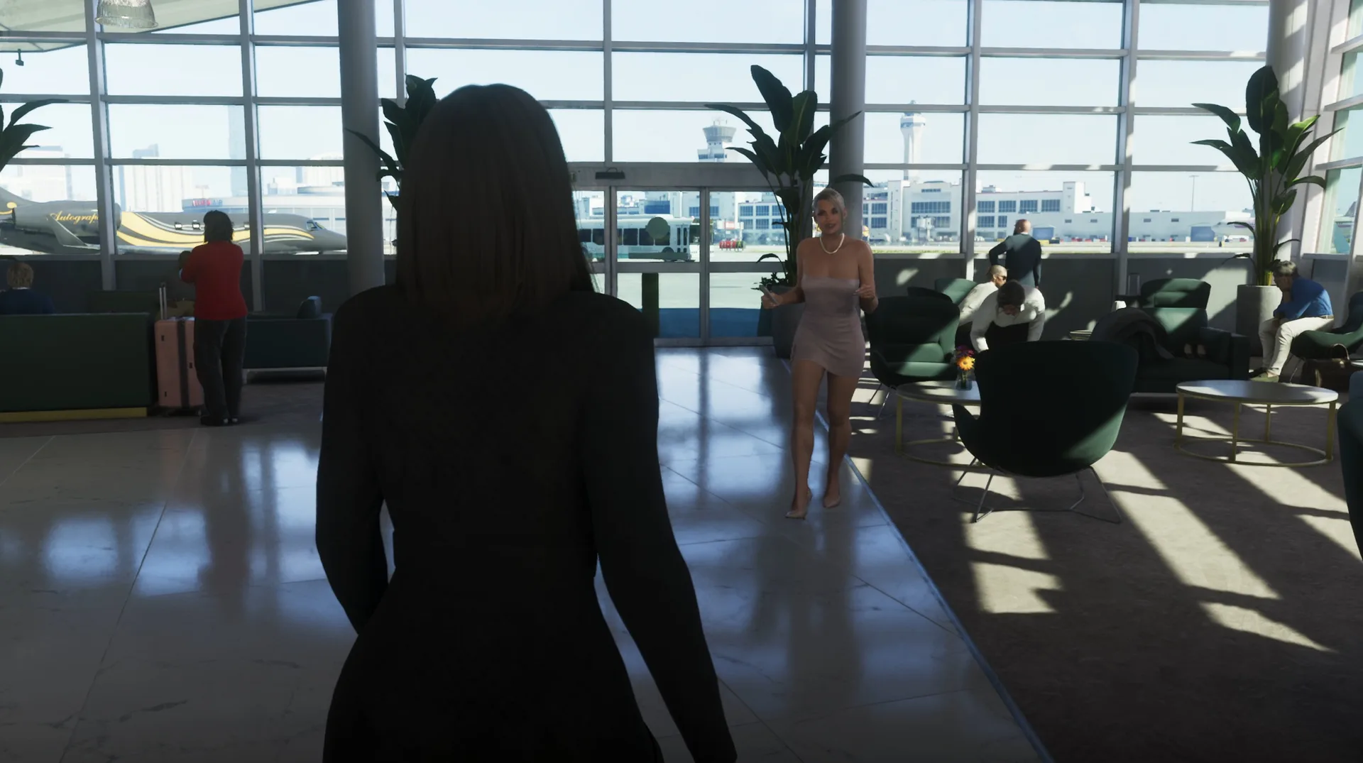
Scale is the statistic that keeps circulating: Favegano measures the airport at two to two and a half times the size of any other field on the map, and roughly half the size of Vice City itself, which squares with the island-sized footprint visible in the flyover shots. His favourite catch is smaller. The Shamal business jet carries two pilots in the cockpit, the runway lighting runs true-to-life beacons, taxi lights and rails, and the weather over the field is not localised to it: separate storm cells drift on the horizon with distant lightning while the ramp stays dry. His one complaint in a half-hour breakdown was a relocated cargo ramp.
The Departure Board Is a Parody Row
The gates come pre-loaded with fake airlines, and the community has been reading tail fins since the first trailer. The confirmed-on-camera roster so far, per Favegano’s terminal pass:
- Allied Air: the United stand-in, a livery that carries over from the Definitive Edition era of San Andreas.
- Adios Airlines: a name that does its own joke, parked at the passenger gates.
- Pelican: a freighter in cargo colours doing the FedEx job on the cargo apron.
- Fly US: a returning Rockstar brand with a 747-style widebody at the gate.
- A flamingo-tailed carrier: a new, unnamed airline whose pink tail the community has not matched to a real livery yet.
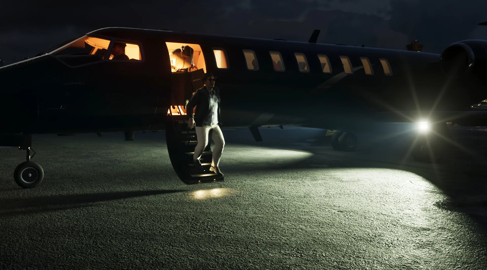
The private side has a name and a business behind it. The fixed-base operator terminal is branded Autograph Aviation, a one-word translation of the real Signature Aviation, whose Miami facility it copies down to the window layout and the second hangar. That is where the Extended Look’s private jet scenes live, and it is already the best-documented business on the airfield.
Grass Strips, an Air Park and a Hidden Runway
The rest of the inventory is small aviation, and it is where the research gets obsessive. Every entry below comes from the version 16 mapping work and the airfield videos built on it.
// The airfield ledger
Every airport and airfield the mapping community has identified so far, with the real-world basis each identification rests on.
| Field | Where | Real basis |
|---|---|---|
| Vice City International | Vice City | Miami International |
| NAS Goose Key | Leonida Keys | NAS Key West, Boca Chica |
| Port Gellhorn airfield | Port Gellhorn | Hidden mid-size strip, no match yet |
| Watson Bay strip | Watson Bay | George T. Lewis Airport, Cedar Key |
| SAS airfield | Near Watson Bay | Residential air park NE of Cedar Key |
| LDF airfield | Grass Rivers | Ocean Reef Club strip, North Key Largo |
| Air Glades | Highway to Ambrosia | Airglades Airport, Clewiston |
| Lumpkin County Airport | Near Red Hill | Wimpy’s Airport, Dahlonega, Georgia |
| Belleville strip | Near Belleville | Belle Glade area strip |
| Lake Leonida strips | Waning Sands, west of the lake | Unmatched dirt runways |
Three of those deserve a line each. The Watson Bay strip is the George T. Lewis Airport from Cedar Key, a county-owned runway a golf cart can cross, and it moved with the town when the map relocated Cedar Key south. The LDF field in Grass Rivers keeps its name from the 2022 leak files and matches the Ocean Reef Club’s private strip in North Key Largo, a runway that started at 2,000 feet in the 1950s and now stretches past 4,400, golf course adjacent in both worlds. And the Port Gellhorn airfield is the one version 16 calls hidden: a mid-size runway the leaked material places behind the town, which is exactly the kind of field a story about running contraband would find a use for.
Helipads, Ambient Traffic and the Open Questions
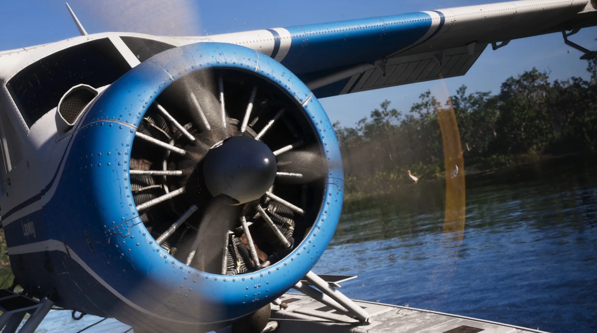
The airports are only half the aviation picture. Mapping contributors are currently adding downtown helipads to the community map, because multiple towers carry them, and the Extended Look demonstrates the part that matters: you ride a lift to the rooftop with no loading screen and step out at the pad. Ambient air traffic runs constantly, planes and helicopters crossing in nearly every city shot, and seaplanes get their own corner of the fantasy, parked in the Keys and skimming the swamp channels of Grass Rivers.
What nobody has answered yet: whether aircraft can be customised, whether hangars work like garages, and what flying a wanted level feels like when the police remember your vehicle. The fast travel side is already covered, airports included, in the fast travel and transport guide, and the real Miami matching behind the terminal lives in the real locations guide.
Discussion
Comments · Airports
No comments yet.
Loading comments…