

Version 17 of the community map paints confirmed interiors blue, 47 of them against more than 400 mapped buildings, renames St. Joseph to Miller Port and adds detail everywhere from the Northern Keys to Star Island.
- Blue buildings mark confirmed interiors, borrowing the game’s own minimap convention, while grey means unconfirmed rather than sealed.
- St. Joseph is renamed Miller Port to match the name visible in leaked material, and the Vice casino’s placement moves north in a correction of version 16.
- A companion tool at gtdfinity.com matches launch trailer shots to proposed locations on the map, from the Keys opening to the Tquesta Key grenade launcher bridge.
Blue Means Enterable, Grey Means Unknown
Version 17 of the community map, the project drawn by Yanis and the GTA 6 mapping team that version 16 formalised, introduces its most useful convention yet. Buildings with confirmed interiors are now painted blue, borrowing the colour language of the game’s own minimap, and mapper Saukko’s tour of the release is explicit about what the colours mean: 47 buildings are confirmed enterable on current evidence, against more than 400 mapped across the state, and a grey building is unconfirmed rather than sealed. Every confirmation traces back to trailers, screenshots, the Extended Look or leaked footage, which is also why coverage is uneven: Kento shows few confirmations simply because available footage only documents its northern half.
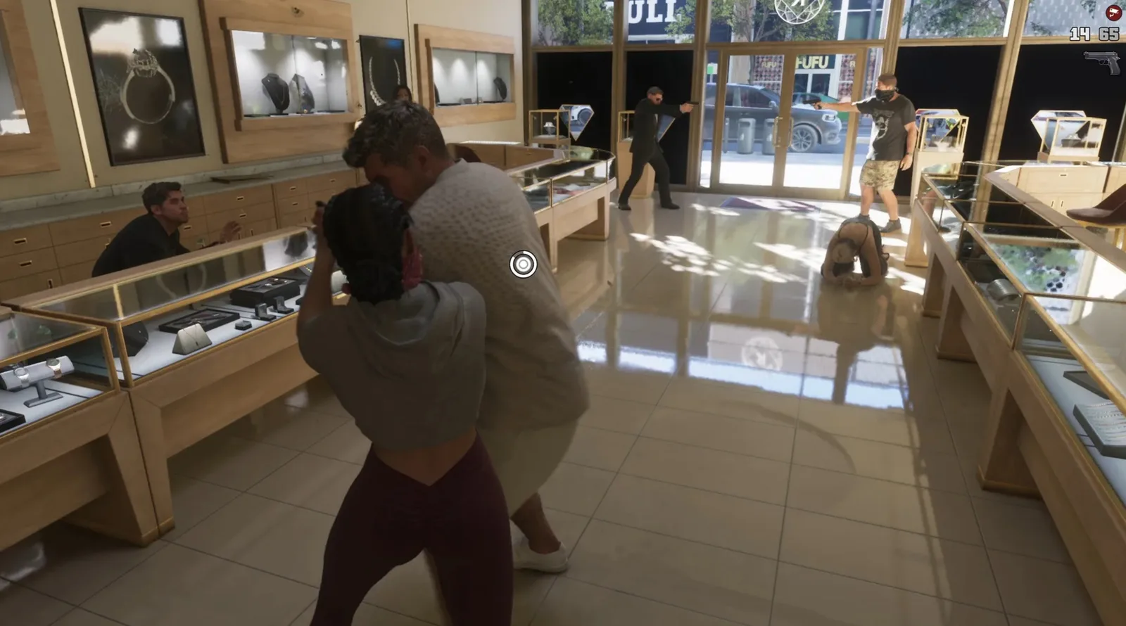
That number is worth holding against expectations. Our interiors guide tracks the same question from the official side, and 47 confirmed before launch, with most of the map undocumented, suggests the real total sits far higher.
From the Keys to Port Gellhorn, Room by Room
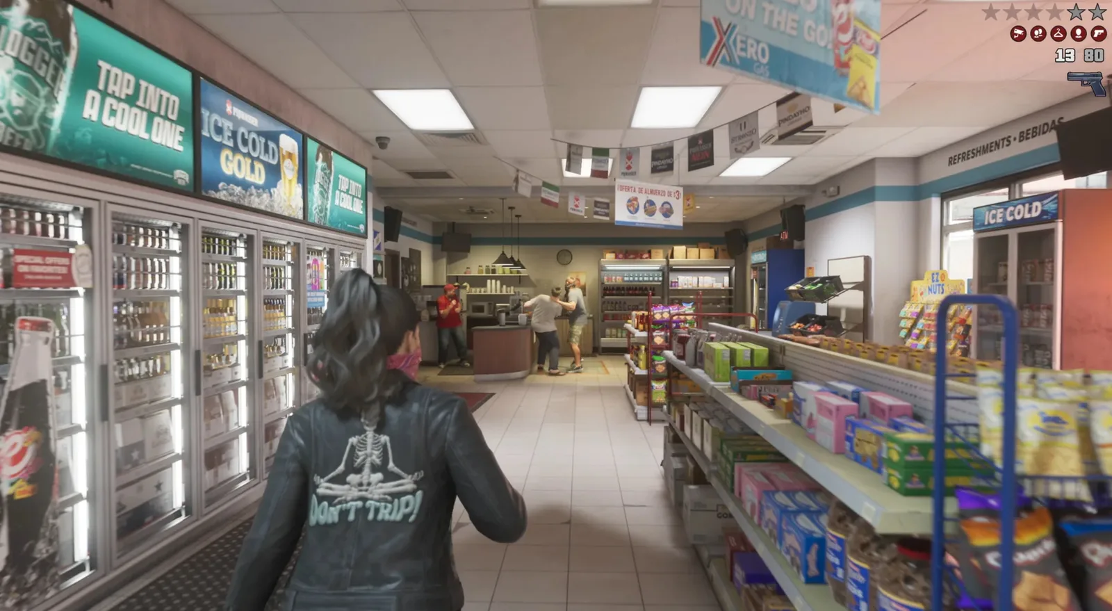
The Leonida Keys section reads like a neighbourhood census. The Rusty Anchor, where Trailer 2 put Jason and Lucia after the prison pickup, is mapped with its pool tables, and the project treats pool as a confirmed minigame on the strength of a screenshot of Jason mid-game. Jason’s house, Brian’s marina, a tattoo shop and the grocery stores fill out the chain, while the Northern Keys gain buildings and roads traced from leaked minimaps, plus a helipad and a small medical clinic the presenter reads as a likely respawn point.
Port Gellhorn is the other density winner: Hanks Waffles with its detailed interior and seven-day opening hours, the Starlet Motel story safehouse, a car wash, gun store, electronics and shoe stores, the racetrack, and a Ferris wheel lifted from leaked material. Further inland, Hamlet gains a telecommunications tower and burger restaurants flagged as potentially enterable, and the Jack of Hearts keeps its place in Kass Town.
Vice City Fills In, the Countryside Gets Named
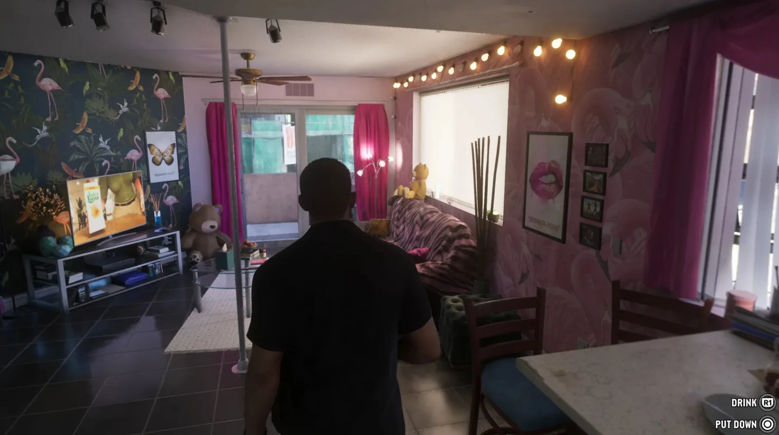
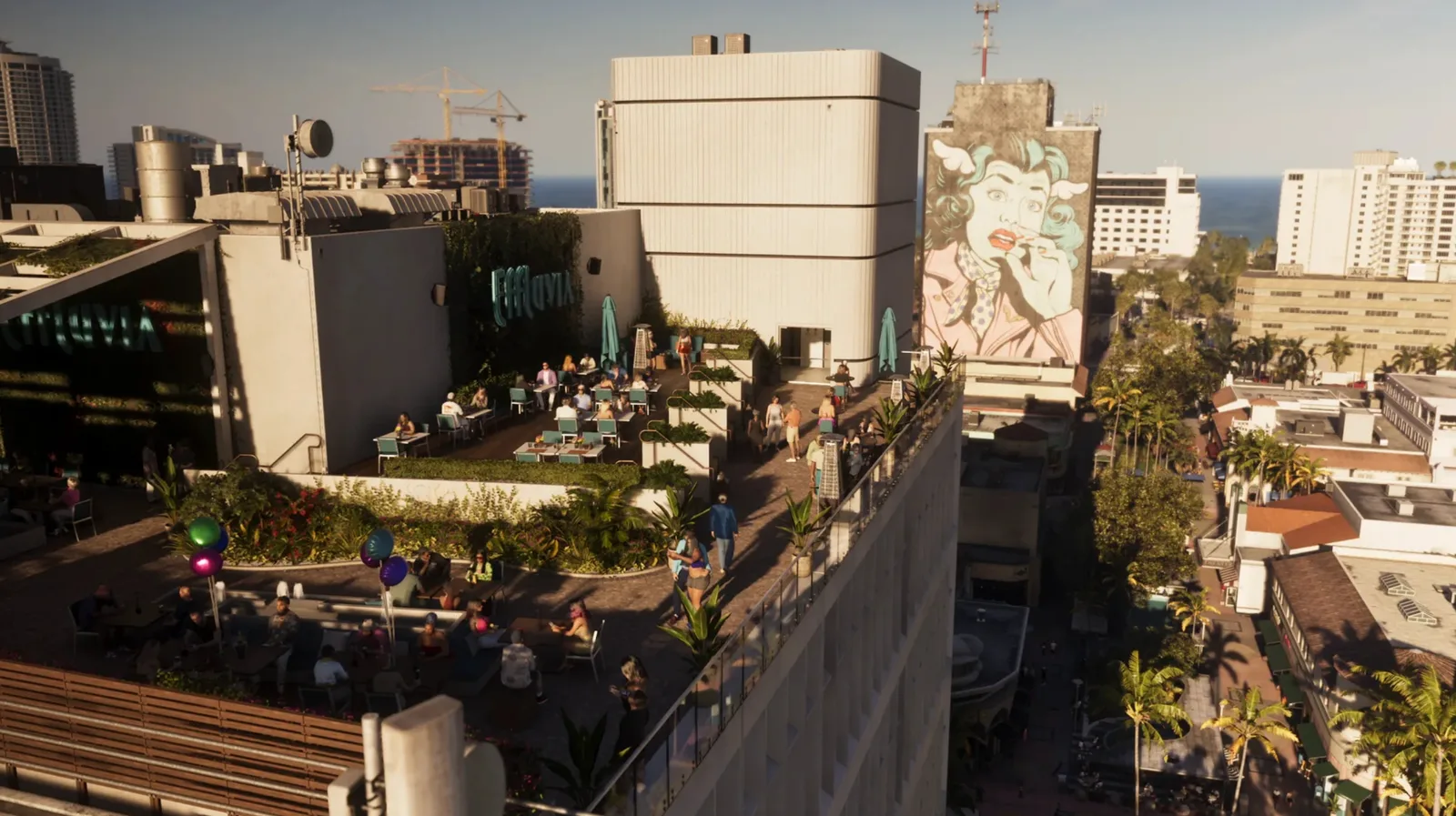
Southern Vice City gains the most buildings in one update, with the mappers drawing on real Miami districts between downtown and the airport for reference. Stockyard is dense with suspected interiors and location icons copied straight from glimpses of the in-game map, a mall on Vice Beach is marked enterable across several floors, and Star Island’s mansions are rebuilt from their real counterparts, including one the presenter floats, without confirmation, as a possible successor to the Vercetti Estate. The Vice casino moves north in a correction of its version 16 placement in Leonard County, and Ambrosia fills in as a working industrial town, with a gas station shop, a police station of unknown enterability, its own tower and a racetrack, while the Goliath concrete factory and a new hangar at the airport join the map’s industrial edges.
The countryside corrections are quieter but just as telling. St. Joseph is renamed Miller Port because that is the name leaked material actually shows, Evergreen Mall appears in Waning Sands styled on Orlando’s open-air outlet malls, Pier 66 marina joins the same district, Tucker’s Citrus farm gets its orchards, Gables Estates gets its residential streets, and one Bluegrass field appears to be shaped like an American flag. The Thrillbilly Mud Club area near Mount Kalaga is mapped with its race tracks.
A Tool That Maps the Launch Trailer Shot by Shot
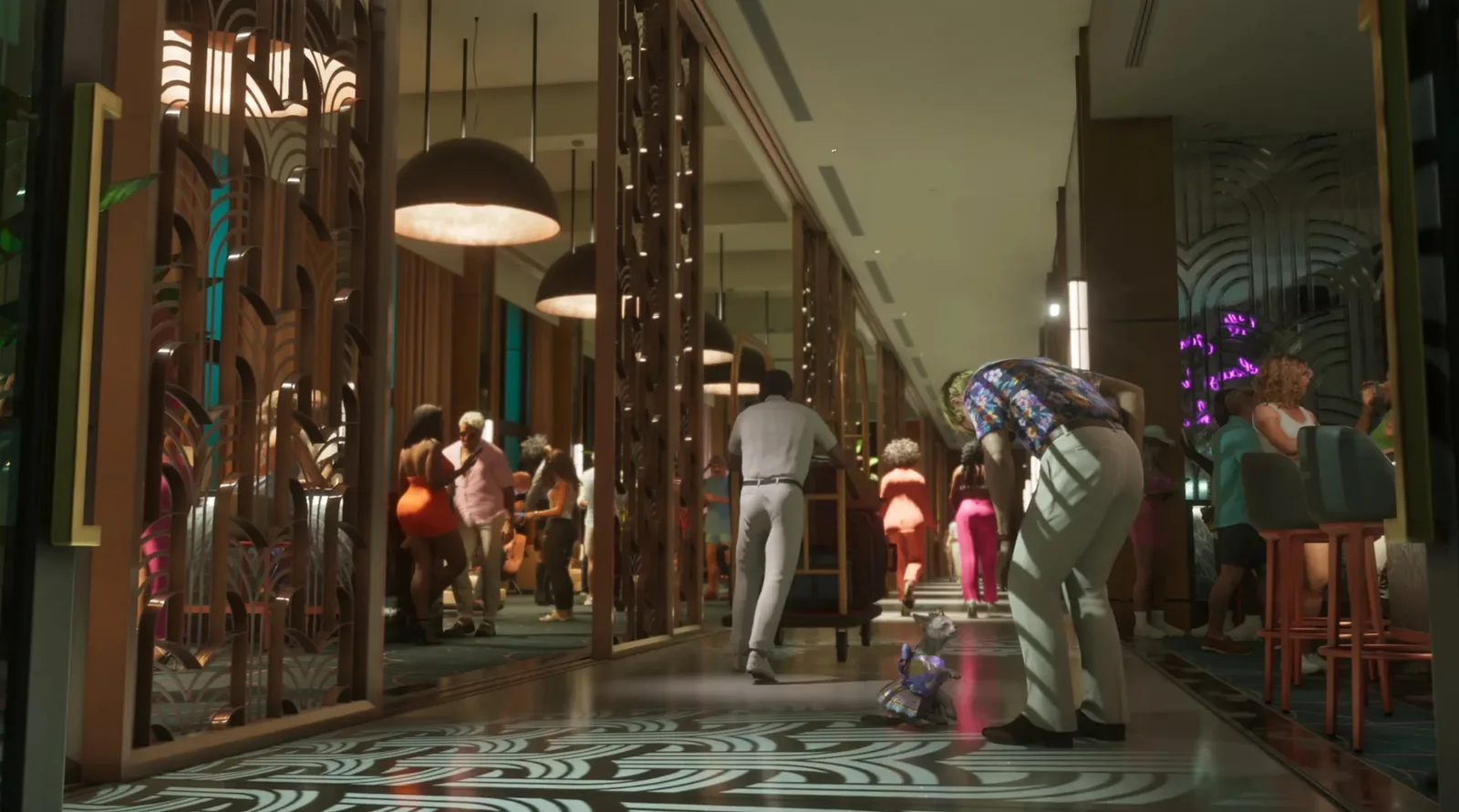
The update ships with a companion: a tool at gtdfinity.com that lets you pick any launch trailer shot and see its proposed location on the community map. The opening shot resolves to a view toward the Keys, several shots land at Brian’s marina inside and out, the grenade launcher scene maps to a bridge on Tquesta Key, and the street race runs beneath a tree-shaped landmark. Some reads stay honest about their limits: a close-up the community cannot place, a lizard shot assigned to Leonida only because Florida hosts the same invasive species, and a stunt jump plotted over the metro and water into an alley that no footage fully confirms. The plane-jumping shot at the airport even draws a comparison to Luis Lopez’s mission from The Ballad of Gay Tony, offered as a possible reference rather than a settled read.
Taken together with the satellite viewer and the Minecraft rebuild, the mapping community now covers Leonida in three mediums at once, and every one of them becomes checkable in 31 days. Version 17 is the last major redraw likely to land before the real map does.
Discussion
Comments · Community map v17: interiors in blue
No comments yet.
Loading comments…