


Mapping creator Saukko has pieced together Leonard County from trailers and leak material: Belville traced to Immokalee, Waning Sands assembled from Fort Lauderdale and Orlando pieces, and a Casino Vice City that began life as the Diamond.
- Leonard County is Leonida’s Broward County analogue
- Belville was identified through a lake and a 4x scaled airport
- Waning Sands mixes Pier Sixty-Six, a marina and Orlando landmarks
- Casino Vice City sat in the 2015 build as the Diamond placeholder
The Quiet County North of Vice City
Leonard County has always been the least examined stretch of the Leonida map, a commuter belt between Vice City’s neon and the wilderness further north. A new breakdown by the mapping creator Saukko, the same researcher whose Google Trends work we covered in the hype analysis, finally gives the county shape, drawing on trailer frames, official screenshots and material from the recent leaks. The usual caveat applies to all of it: these are community identifications, not Rockstar confirmations.
The basics first. Leonard County sits on Leonida’s east coast with Vice-Dale to the south, Kelly County to the west and Lummox County to the north, and its real-world template is Broward County, the suburban sprawl north of Miami-Dade. Saukko reads the southern border as a river and inlet, the western edge as a canal, and the county’s reach extending north into the mountains, where leak material shows Jason crossing a Leonard County line high in the hills. The county also runs its own law: the Leonard County Sheriff’s Office has been visible since the first trailer, and Waning Sands fields its own police department.
Belville, Found Through a Lake
The county’s second city is the better detective story. Belville was named in the 2022 leak but stayed effectively invisible until the full map surfaced, and Saukko himself made the identification that unlocked it: a small lake in town matches, one to one in its dimensions, a lake in Immokalee, the inland Florida agricultural town. From there the matches stacked up. The runway north of town is Immokalee Regional Airport’s northern runway scaled down by a factor of four, a pair of ranch lakes matches island for island, and the storm-lashed gas station from trailer one sits on a real Immokalee corner. The move also mirrored the town: features on Immokalee’s west side turn up on Belville’s east, and the other way around.
Immokalee is nowhere near Broward in reality, which shows how freely Rockstar remixes the state. The town reads as agricultural in-game too: grain fields wrap its east side, a tent-shaped grain store feeds a rail transfer point, and a landfill district to the south features what locals would recognise as a Mount Trashmore of its own. Saukko also notes the name likely nods to the Billie family of the Seminole Tribe, whose casino business is part of the real region’s identity.
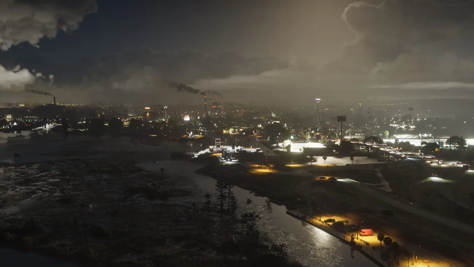
The Casino That Almost Was the Diamond
The find most players will care about is the casino. It is called Casino Vice City despite sitting in Leonard County, which Saukko puts down to metro-area branding, and its building is modelled on Magic City Casino near Miami International Airport, complete with a track that was a greyhound course in reality and may run horses in the game.
The history is the fun part. The casino’s plot was already reserved in the 2015 build of the map, where it held a placeholder: the Diamond Casino, the same venue that eventually shipped in GTA Online. Saukko’s reading is that Rockstar planned the Diamond for GTA 6 first, moved it to GTA 5 when Online needed it, and backfilled the Leonida plot with a Miami casino instead. The Diamond’s real-life inspiration even includes a Miami parking garage that still appears in GTA 6, so the two games effectively swapped buildings.
Waning Sands, a City of Borrowed Parts
Waning Sands is the county’s main city and, by Saukko’s account, its strangest. Most GTA 6 districts copy a real area closely enough that identifying one building helps you find its neighbours. Waning Sands does not work that way. It was absent from the 2015 map, has no real downtown, and assembles landmarks from across Florida: the Sea Haven Marina from south of Fort Lauderdale’s airport, the Pier Sixty-Six resort tower as its tallest building at nearly 20 floors, an identification Saukko partly owes to a machine after Google’s image search named the building from a leaked frame, an elevated stretch of road from West Palm Beach, and a suburb copied from the Monterra neighbourhood of Cooper City.
The Orlando imports are the eyebrow raiser. The Evergreen Mall, an enterable mall glimpsed in trailer one, is based on the Orlando Vineland Premium Outlets a few minutes from Disney World, and a nearby mini golf course matches Congo River Golf from the same tourist strip. A barrier island called Vinewood Beach in the leak files rounds out the city, named after the real Hollywood Beach by way of GTA 5’s Hollywood joke.
// Leonard County’s identified real-world matches
The headline identifications from Saukko’s breakdown. All community research, none confirmed by Rockstar.
| In-game | Real-world match |
|---|---|
| Belville | Immokalee, including its lake and airport |
| Casino Vice City | Magic City Casino, Miami |
| Waning Sands marina | Sea Haven Marina, Fort Lauderdale area |
| Tallest Waning Sands tower | Pier Sixty-Six resort |
| Evergreen Mall | Orlando Vineland Premium Outlets |
| Mini golf course | Congo River Golf, Orlando |
| Northern suburb | Monterra, Cooper City |
| Canal mouth at Lake Leonida | Port Mayaca, Lake Okeechobee |
Radio Towers, Burger Joints and Open Questions
The margins of the county hold good texture. The broadcast station for Flash FM sits on the Leonard County map complete with its antenna, so the county is literally where one of Vice City’s flagship stations transmits from. A fast food brand called Billy Bobs appears twice, both times inside the county, suggesting a regional chain in the vein of real Florida one-county franchises. Parts of Lake Leonida fall inside the county line, with the canal mouth matching Port Mayaca on Lake Okeechobee.
Plenty remains unexplained: a large hill north of Belville with no southern Florida equivalent, a probable mud racing track in the north, an unidentified golf driving range with a strange cylindrical building, and a green zone that Saukko half-jokingly refuses to rule out as the map’s Disney World stand-in. With launch now weeks away, Leonard County has gone from the map’s blank spot to its most interesting set of open questions, and we will fold confirmations into the county page as they land.
Discussion
Comments · Leonard County decoded
No comments yet.
Loading comments…